
Southern Crescent Neighborhood
The Southern Crescent conservation neighborhood includes 20 scenic home sites arranged on the gentle south- and west-facing slopes of a crescent-shaped ridge. Surrounded by thousands of acres of protected open space, Southern Crescent offers immediate access to miles of private and public hiking, biking, and equestrian trails.
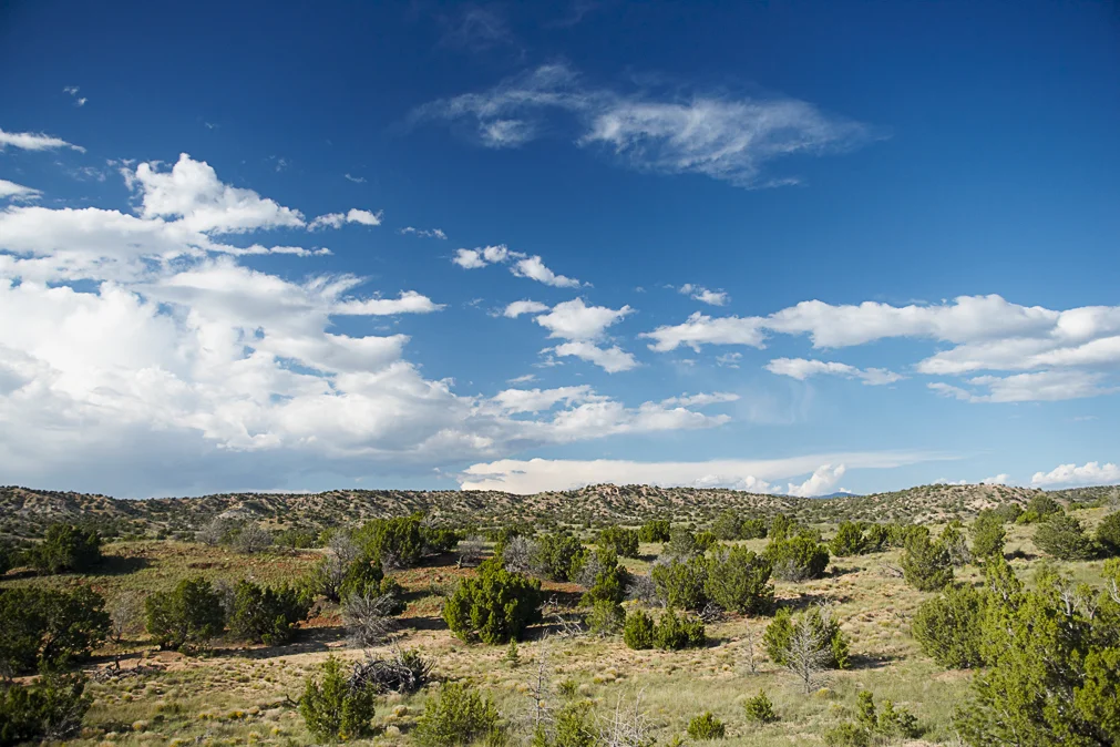
All of the Southern Crescent lots are distinguished by their quality of privacy and topography and by panoramic views of the southern Galisteo Basin, the Ortiz Mountains, the wave-like Cerro Pelon, and the intimate La Cañada Basin.
Carefully sited building envelopes take into account the region’s visual, natural, and community resources, and each is designed to accommodate a single-family home, a studio, and a garden area.
Southern Crescent’s common open space includes a 56-tree orchard and a designated community farm area. Two neighborhood overlooks provide broad Galisteo Basin and Sangre de Cristo views from the highest points on the ridge. Arroyos, native grasses, piñon, and juniper provide abundant plant and wildlife habitat.
Location
The entrance to Southern Crescent lies approximately one mile from the main Galisteo Basin Preserve entrance at US Hwy 285 and Astral Valley Road. It is a roughly 20-minute drive from Santa Fe.
Interactive Map
View an interactive map of the Southern Crescent property through Google Earth.
Click here to download the KMZ* file.
*KMZ is a file extension for a placemark file used by Google Earth. KMZ stands for Keyhole Markup language Zipped. KMZ contain KML files; and can contain placemarks featuring a custom name; the latitudinal and longitudinal coordinates for the location, and 3D model data. KMZ files can be opened by Google Earth.
Additional information + resources
Plat maps of the community, development guidelines, community operating agreements, and details about services and utilities are available for the Southern Crescent community via https://www.galisteobasinpreserve.com/southern-crescent-community.